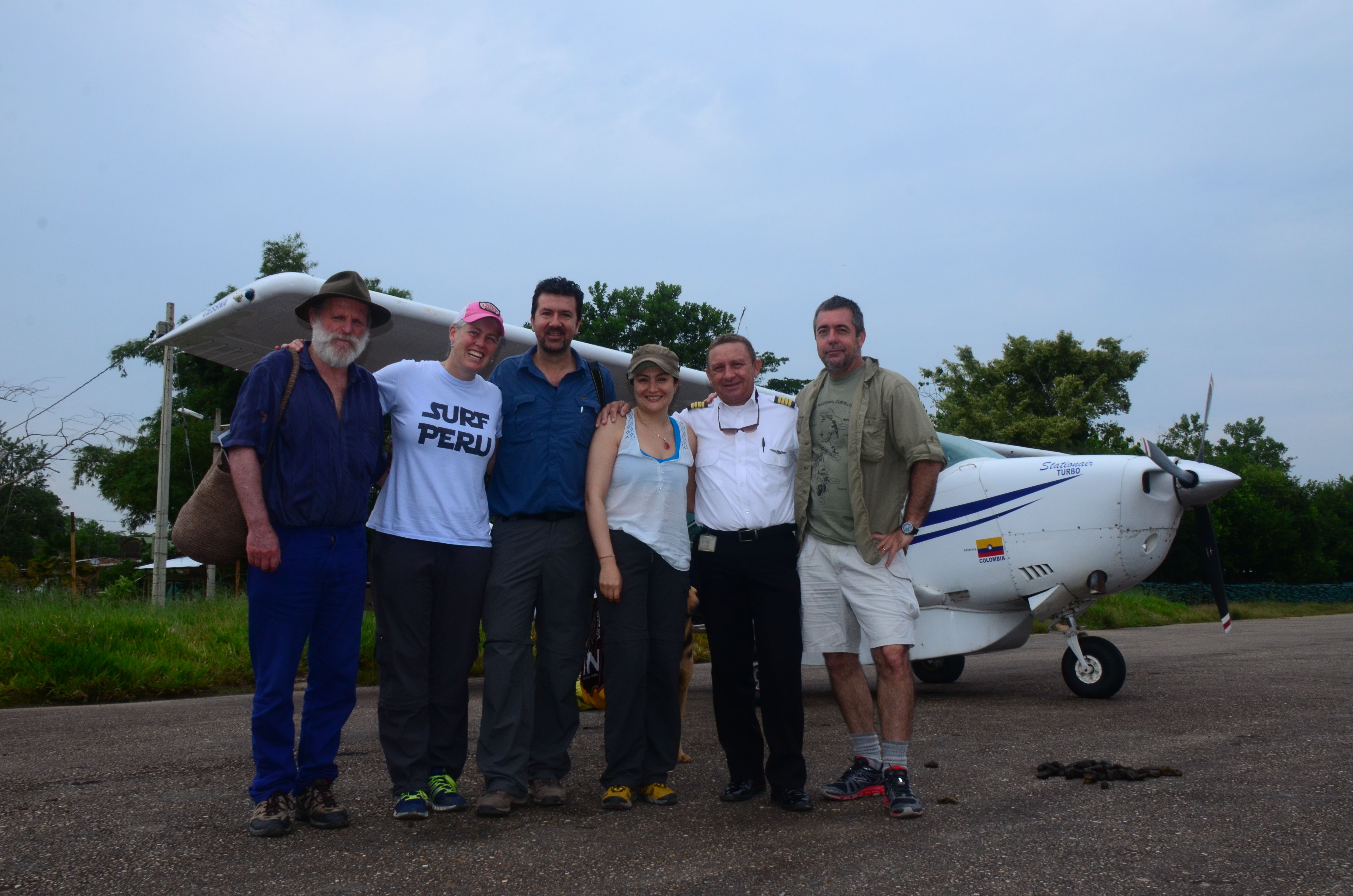
The team: Patricio von Hildebrand, Corine Vriesendorp, Rodrigo Botero, Adriana Rojas, pilot, Alvaro del Campo,
We have developed a new, relatively low-cost protocol for generating baseline data about current land use in and around national parks. We would like to promote the use and application of this methods by sharing the details of the protocol. Below we provide a brief overview of our observations from the air.
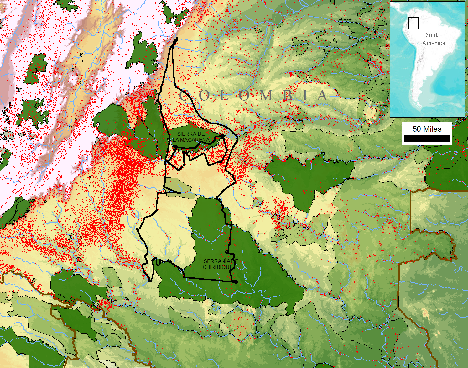
Our overflight route:
Day one: Villavicencio-town of La Macarena-southereastern corner of PNN La Macarena-town of La Macarena.
Day two: Town of La Macarena-Yarí Savannas-middle Caguan River-Chiribiquete-San Jose de Guaviaré-Villavicencio.
The 17,000 photographs and 9+ hours of video reveal a vanishing but important window for maintaining connectivity among the Andes and the Amazon in Colombia. Severe deforestation, produced by a combination of cattle ranching, coca fields, oil palm plantations, and roads, is placing strong pressure on La Macarena national park, as well as the corridor that connects La Macarena to Chiribiquete national park. FARC guerrilla groups are living within La Macarena, and the roads that they have opened and maintained are fragmenting the park from within. We observed coca fields and grazing lands for cattle within the park borders, both in the north and south.
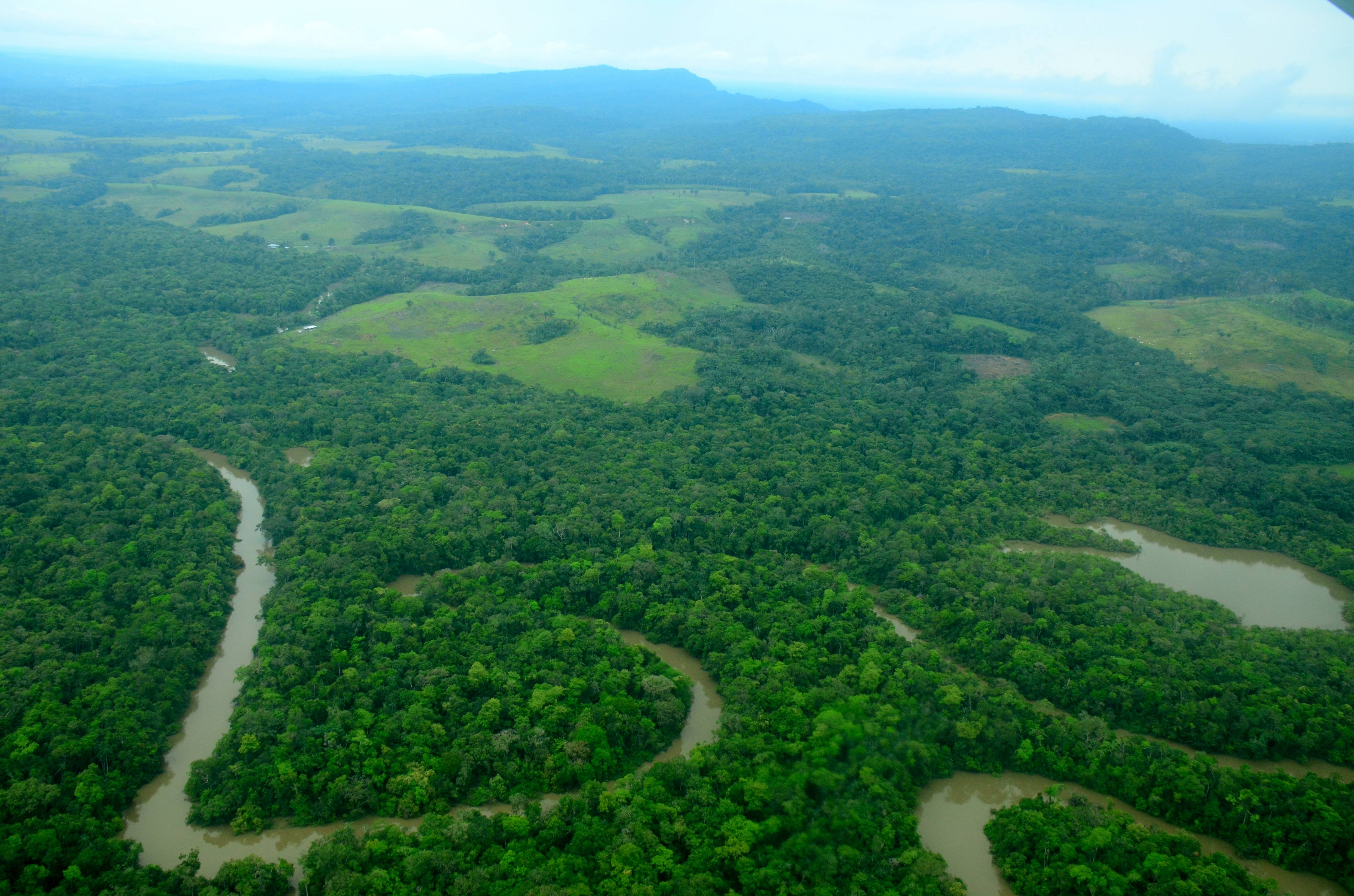
Deforestation inside PNN La Macarena
,
La Macarena is rapidly becoming an archipelago of isolated fragments, instead of a consolidated conservation land. Within the park it will be critical to halt deforestation, relocate cattle to other non-park lands, remove coca plants, abandon the informal road network, and create incentives for natural reforestation of lands degraded by road building, grazing, and coca planting.
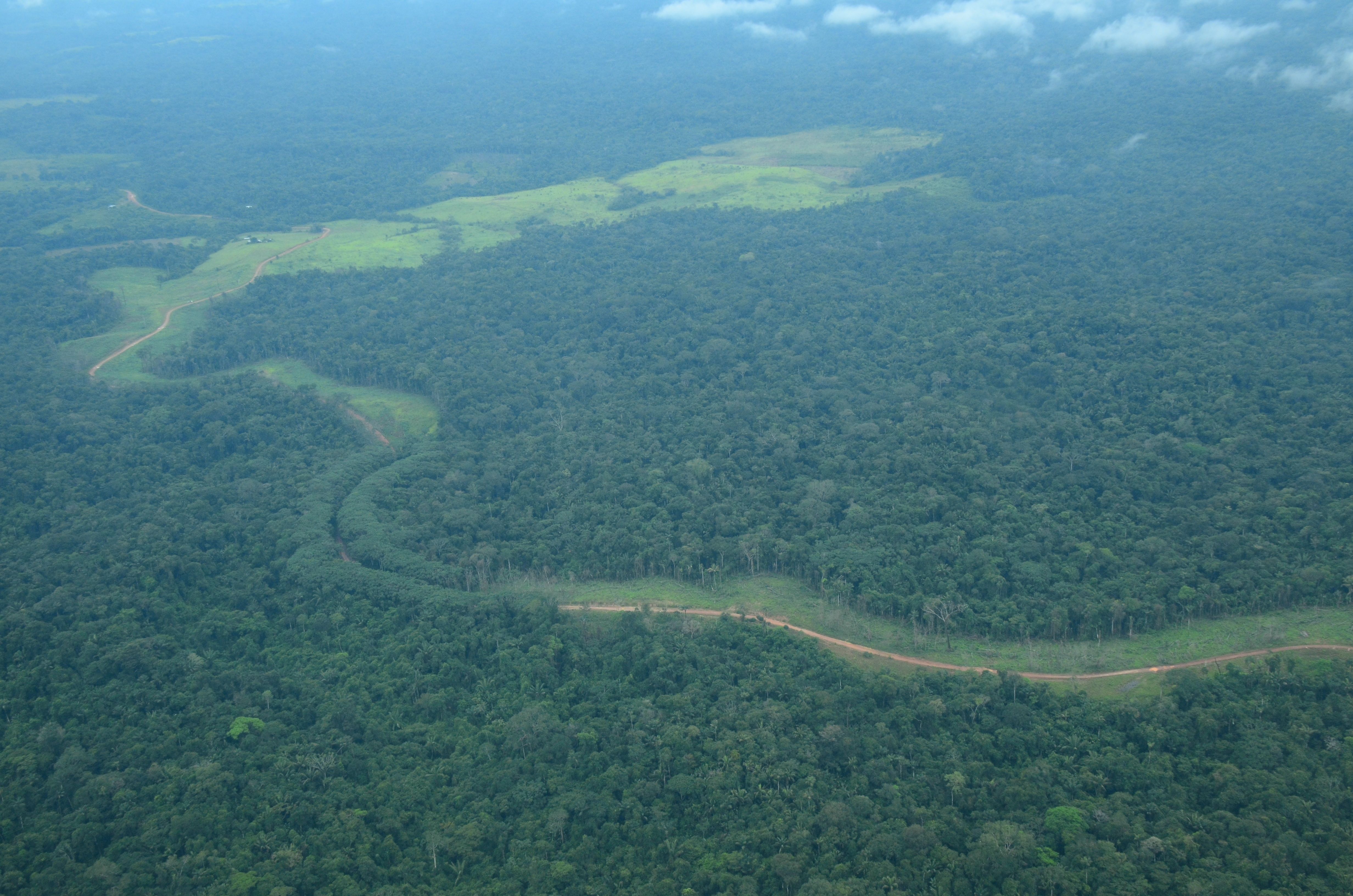
FARC road inside PNN La Macarena
In stark contrast, our overflight of the interior of Chibiriquete national park revealed a conservation stronghold: vast forested expanses and spectacular rock formationes, natural savannas, impressive sandstone outcrops rising up from the Amazonian plain, a large blackwater lake complex, hundreds of waterfalls streaming off of imposing tablelands, and millions of hectares of uninterrupted lowland forest. The benefits of maintaining forest connectivity between Chiribiquete and La Macarena are obvious from the air, as both Chiribiquete and the corridor itself would provide a source of seeds, dispersar, pollinators, and other ecological functions critical fore the restoration and maintenance of La Macarena.

PNN Chiribiquete
We believe that our photographs and videos establish an important baseline for further analysis. All of the images are geo-referenced and can be compared with remotely sensed information (e.g., satellite imagery). A detailed classification of these images will provide valuable information about land use, given that cattle ranching, coca cultivation, road-building, and clearing for agriculture appear visually similar in satellite imagery, but are operationally quite distinct. Additionally, these photographs represent important points of comparison to evaluate the efficacy of future management activities (e.g., reforestation) in and around La Macarena national park.