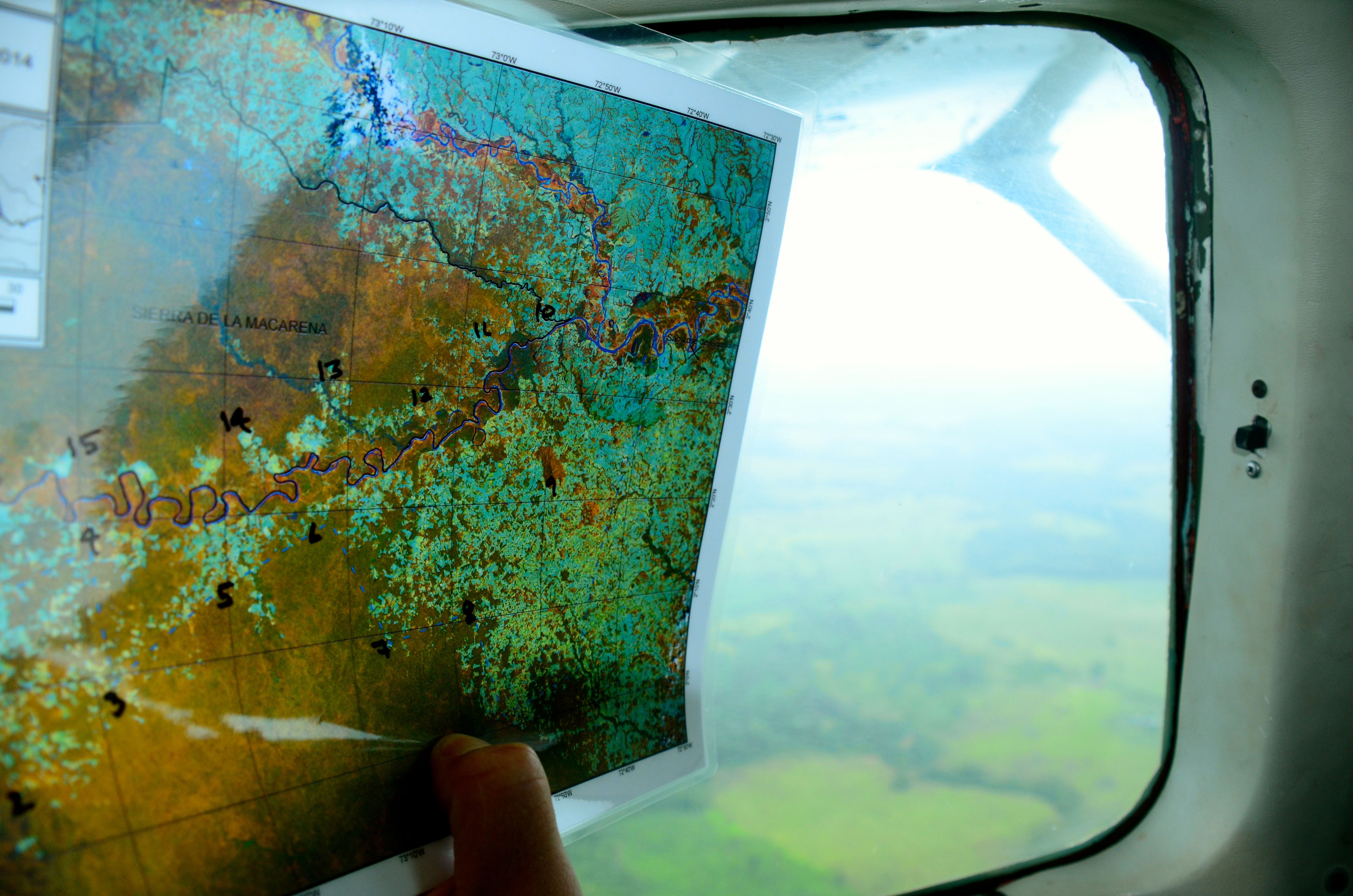
1,700 km, one small plane, 17,000 photographs
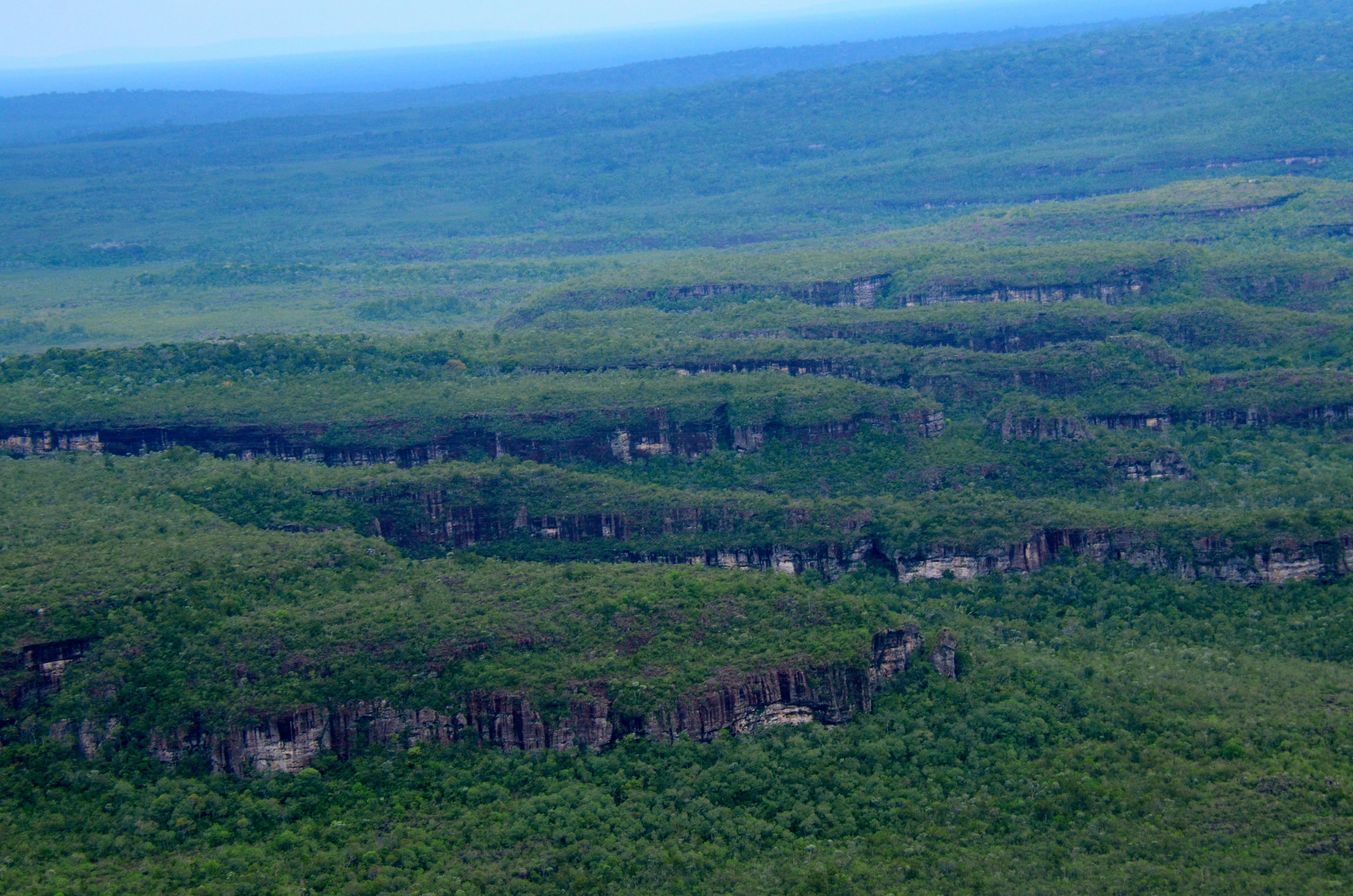
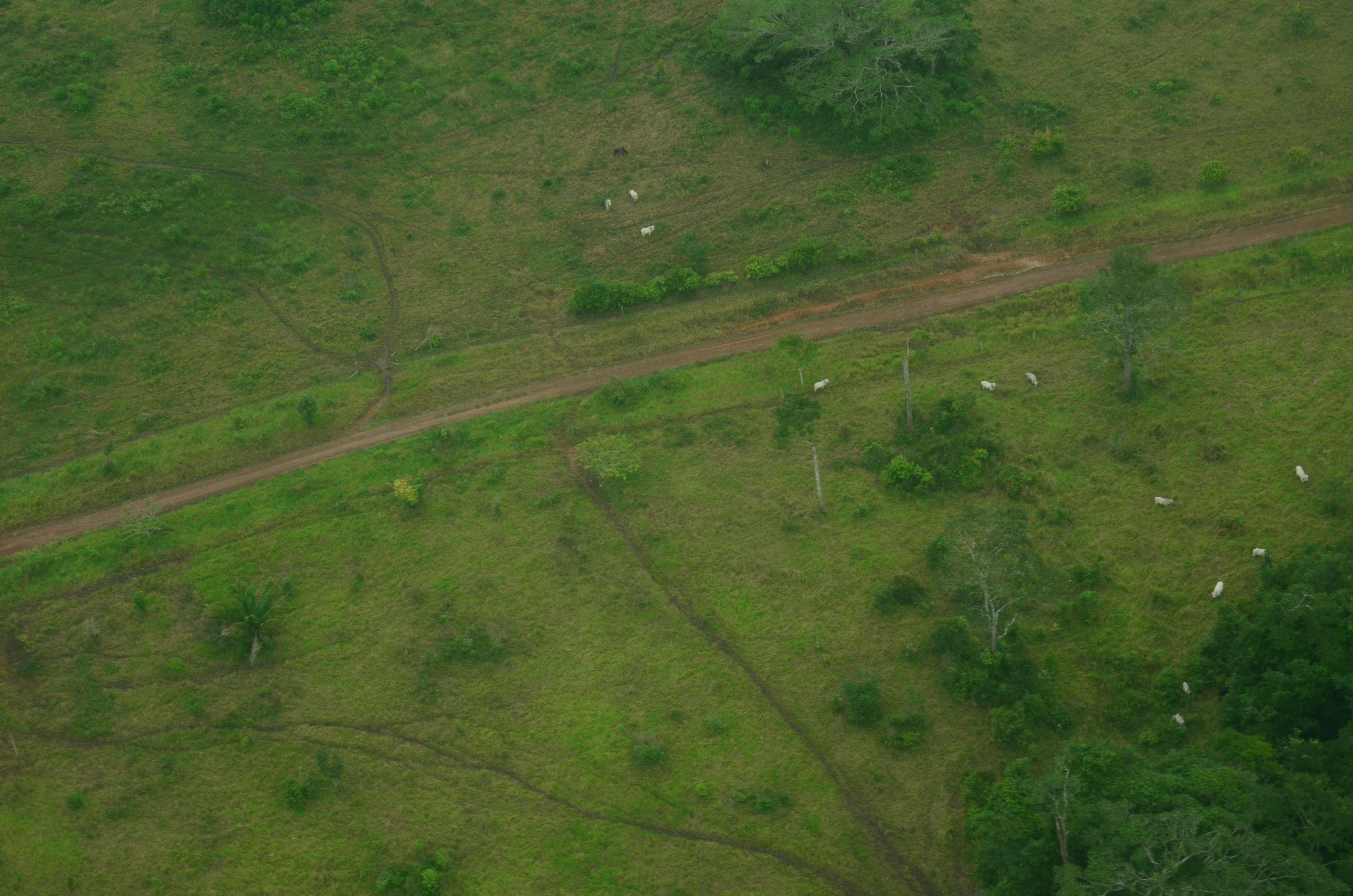
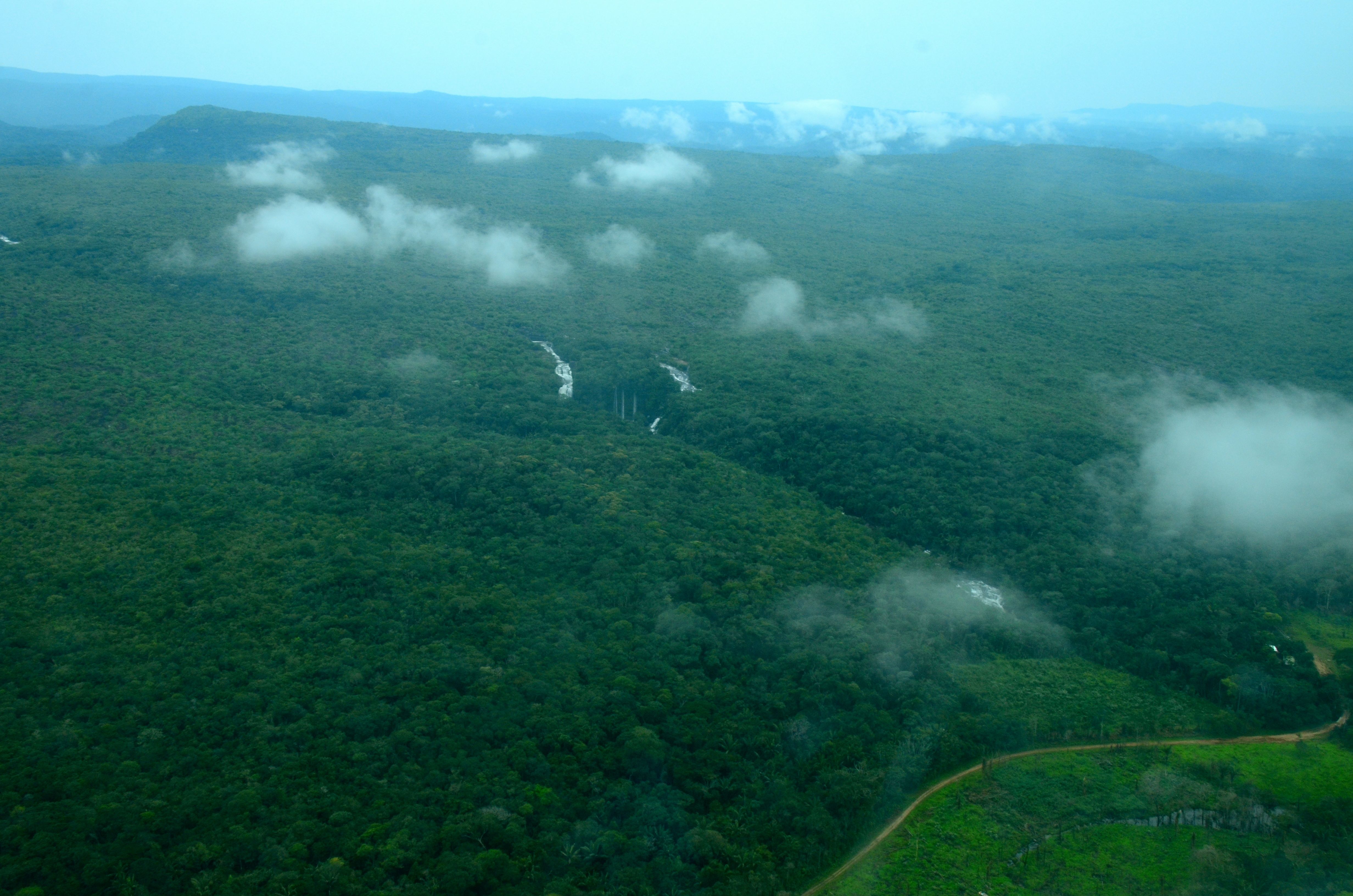
We are part of a team evaluating the forest connectivity between the Colombian Andes (La Macarena national park) and the Colombian Amazon (Chiribiquete national park). In late August 2014, The Field Museum, Foundation para Conservación y Desarrollo Sostenible y Puerto Rastrojo flew more than 1,700 kilometers in a Cessna 206 over two days. We used Landsat 8 satellite imagery from March 31 2014 as a guide to design a route that traces the deforestation frontier between La Macarena and Chiribiquete, as well as the deforestation around the Yarí Savannas en the middle Caguan River. We attached two GoPro cameras to the bottom of the plane, one shooting continuous video, and one taking a photograph every two seconds. We synchronized the cameras with our GPS units.
This site houses 17,000 photographs, and describes the protocol we used for gathering the photographs, georeferencing each one, and stitching them together into a seamless ribbon of aerial data on forest cover in southern Colombia.